In this post, we walk through the problem space, our architecture on Amazon Bedrock and Amazon OpenSearch Serverless, the evaluation methodology we built on OpenStreetMap ground truth, four experiments that compared embedding models, fusion strategies, captioning, and search methods, and the practical guidance you can apply when building a similar system. You’ll learn which design choices move the needle for geospatial semantic search, including why Amazon Nova Multimodal Embeddings delivered the highest F1 scores across both benchmark queries in our evaluation. The work described here evolved
The increasing availability of large-scale multimodal models and specialized AI services like Amazon Bedrock and OpenSearch Serverless is enabling practical applications for previously complex geospatial analysis.
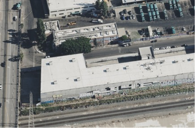
This development allows for highly efficient and granular semantic search of vast aerial imagery datasets, transforming how industries can leverage satellite and drone data for critical insights.
The ability to semantically query petabytes of aerial imagery using natural language or visual cues significantly enhances situational awareness and data exploitation across numerous sectors.
- · Geospatial intelligence platforms
- · Defense and intelligence agencies
- · Agriculture and environmental monitoring
- · Logistics and urban planning
- · Traditional manual image analysis services
- · Legacy geospatial data providers without AI integration
Semantic search in aerial imagery becomes a standard feature for various geospatial applications.
Demand for multimodal embedding models and serverless AI infrastructure accelerates in sectors reliant on visual data.
Enhanced real-time geospatial intelligence capabilities could influence geopolitical decision-making and disaster response at unprecedented scales.
This signal links to a primary source. Continuum Brief monitors and indexes it as part of the live intelligence stream — we do not republish source content.
Read at AWS Machine Learning Blog