Geospatial Unbounded: Spatial SQL GA with AI/BI Maps, Delta Sharing, and Iceberg v3
A hurricane is forming in the Florida Gulf. As an insurer, you need to answer key...
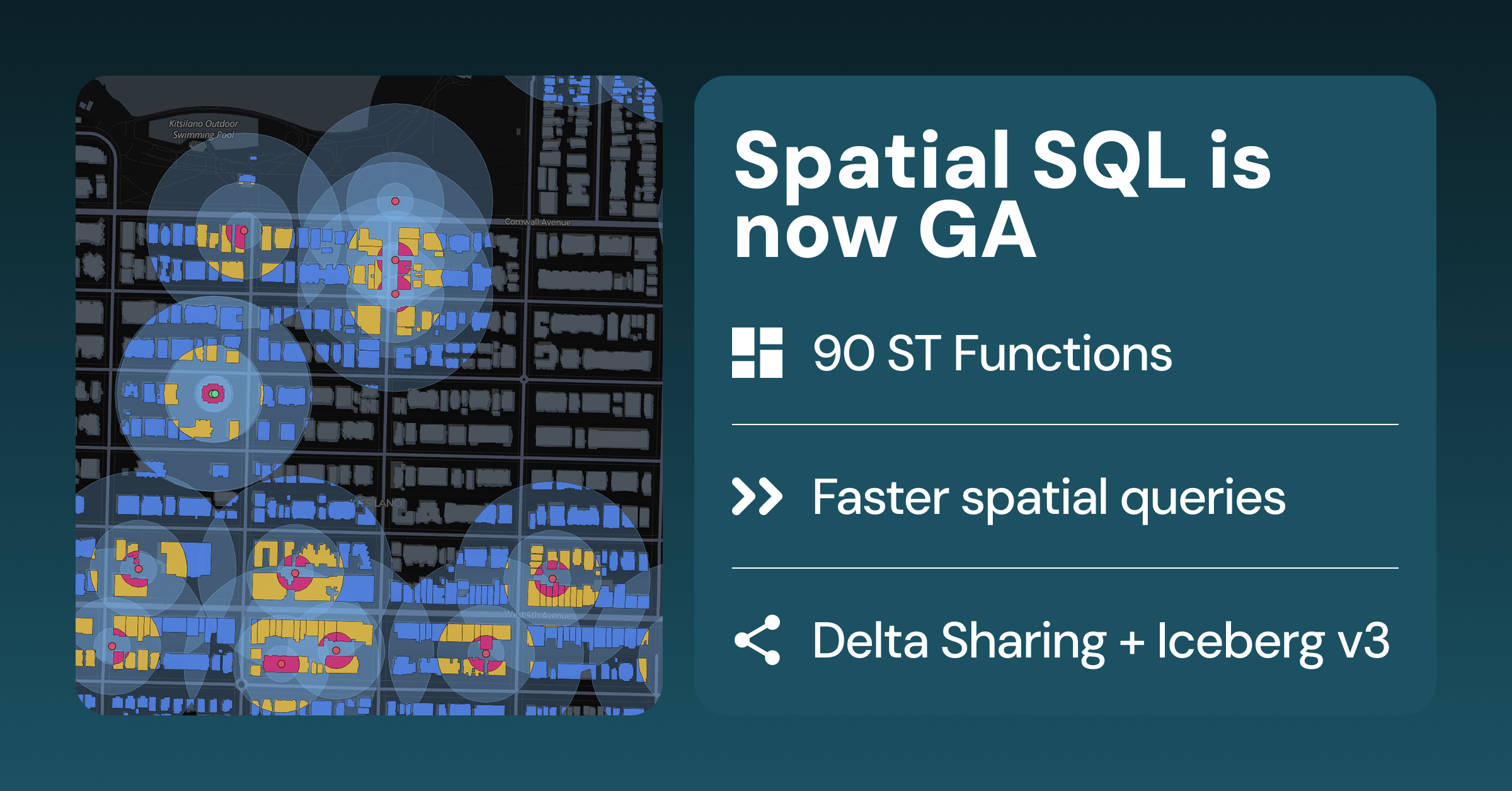
Databricks has integrated advanced geospatial capabilities, including spatial SQL, AI/BI Maps, and interoperability with Delta Sharing and Iceberg v3, making these powerful tools generally available at a time when data-driven decision making is critical across industries.
This development makes sophisticated geospatial analysis more accessible and scalable, enabling organizations to leverage location intelligence for a wide range of applications from disaster response to supply chain optimization, ultimately improving resilience and efficiency.
Organizations can now more easily integrate and analyze vast datasets based on location, directly within their existing data lakehouse environments, moving beyond specialized GIS systems to a more unified analytical platform.
- · Databricks
- · Insurance companies
- · Logistics and supply chain companies
- · Urban planners
- · Traditional GIS software vendors (if not adapting)
- · Companies relying on outdated geospatial analysis methods
Companies gain enhanced capabilities for real-time risk assessment, predictive analytics, and operational efficiency through integrated spatial data.
Increased adoption of data lakehouse architectures for complex analytical workloads, including geospatial, as the platform becomes more comprehensive.
The development of new, specialized AI models and applications that deeply integrate spatial reasoning, driving innovation in autonomous systems and smart infrastructure.
This signal links to a primary source. Continuum Brief monitors and indexes it as part of the live intelligence stream — we do not republish source content.
Read at Databricks Blog